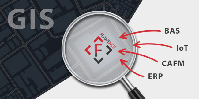
GIS and data: Framence as a potential bridge between two worlds
For decades, geographic information systems (GIS) have stood as essential tools in managing, analyzing, and decision-making concerning infrastructure. From cable routes to roadways, campuses to industrial plants, and even entire cities: GIS offers a robust framework for understanding complex networks. Its utility has been highlighted in various spheres, such as the breakdown of COVID-19 incidence…


