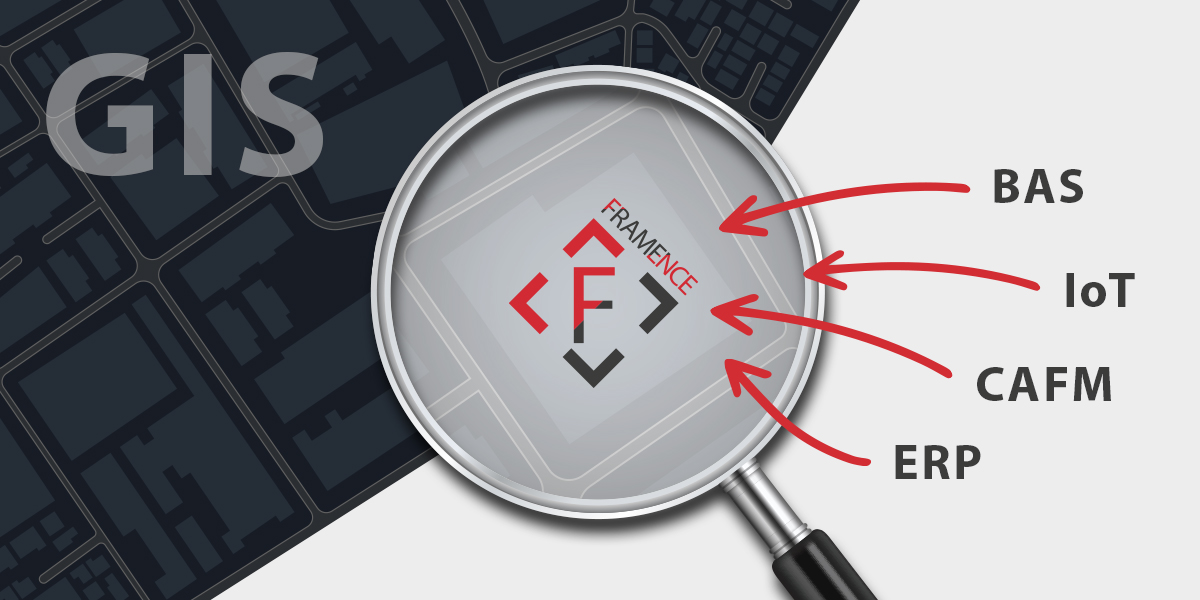
For decades, geographic information systems (GIS) have stood as essential tools in managing, analyzing, and decision-making concerning infrastructure. From cable routes to roadways, campuses to industrial plants, and even entire cities: GIS offers a robust framework for understanding complex networks. Its utility has been highlighted in various spheres, such as the breakdown of COVID-19 incidence figures by location, bringing GIS into the public consciousness.
The expansive world of GIS, where outdoor spaces and vast infrastructure installations are visualized, stands in stark contrast to a more confined domain: the world of data stemming from technical systems and buildings. This includes real-time sensor readings and details on maintenance procedures. To paint a comprehensive picture of reality, seamlessly integrating both the physical structures and their associated data is imperative. This merger should be executed with simplicity and intuitiveness, facilitating easy access to both the GIS and data landscapes.
Photorealistic digital twins: a bridge between GIS and data
In this context, FRAMENCE’s photorealistic digital twins emerge as a potential bridge between GIS and diverse data sources. Within our digital twins, comprehensive information pertaining to buildings, plants, and processes can be effortlessly accessed within a visually immersive environment. This capability facilitates a smooth transition from the broad perspective offered by GIS to the often essential, granular insights into individual structures or technical assets. Consequently, FRAMENCE offers invaluable enhancements to GIS systems in terms of visual infrastructure management. To illustrate this add-on, consider the following example:
Companies and organizations managing multiple production facilities across various cities often incorporate these facilities into their GIS systems to gain insights into their geographical distribution, capacities, and connections within supply chains. In the event of a plant malfunction, the GIS system typically provides the location and basic details of the affected plant. However, to grasp the precise cause of the malfunction and initiate corrective measures, more detailed information is necessary.
With the FRAMENCE platform, accessing detailed information about assets from the GIS system is as simple as clicking on their location. This action seamlessly transports the user to the photorealistic digital twin of the asset. Within this immersive environment, users can explore the plant’s digital model, retrieve real-time sensor data, review process visualizations, and examine detailed reports on past maintenance activities. This integration empowers company employees to swiftly and effectively access the necessary information for diagnosing faults and implementing corrective actions.
A range of features makes daily tasks a breeze
Furthermore, FRAMENCE provides a range of features including the display and editing of documents, instructions, dashboards, or videos pertaining to production processes, maintenance tasks, energy data, building management systems, facility management procedures, and onboarding protocols. Additionally, any other pertinent information crucial for the seamless management and analysis of the respective infrastructure or system can be effortlessly showcased. By integrating diverse external datasets, FRAMENCE constructs a holistic perspective of buildings and facilities, fostering more efficient decision-making processes. Moreover, employees have the capability to navigate through different locations within the digital twin, akin to using Google Street View, offering a comprehensive overview of on-site conditions right from their desks.
Visual notifications alert users to issues
FRAMENCE also facilitates graphical transmission of information to the GIS system in the following manner: when critical limit values are on the verge of being surpassed within a production plant or building, various alerts can be triggered. These alerts may include notifications via text message, email, or pop-up messages, alongside visual warnings directly integrated into the GIS interface. For instance, the affected building could be highlighted in red, serving as a visual cue of the impending issue. This capability significantly enhances safety measures and enables swift responses during critical situations, underscoring FRAMENCE’s vital role in ensuring proactive risk management.
Would you like to enhance your GIS system with photorealistic localization of real-time data and enjoy the advantages of a comprehensive depiction of reality? Reach out to us at 0049 6251 584 0 or via email at info@FRAMENCE.com, and let’s collaborate to add a significant dimension to the management of your infrastructure!


