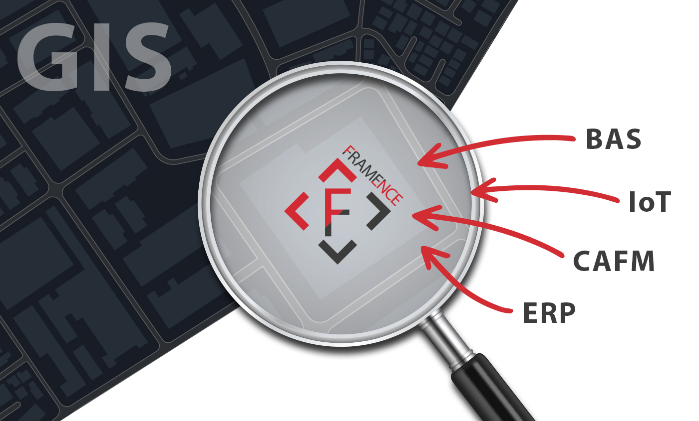
Integrating GIS with asset and process data in the manufacturing sector
To enhance the accuracy and thoroughness of depicting production facilities and buildings across diverse locations, we’ve seamlessly incorporated a range of process data from our client’s software solutions into their GIS system.
What was the challenge?
Our manufacturing client encountered the obstacle of integrating asset and process data, including third-party system inputs, into their geographic information system (GIS). The goal was to establish a comprehensive overview, incorporating live data, videos, manuals, and other essential information concerning their production facilities and buildings.
How did we solve it?
To address this challenge, we leveraged our expertise in photorealistic digital twins and implemented FRAMENCE as a tie between GIS and asset & process data. We began by creating digital twins of our client’s production facilities and assets, meticulously capturing all pertinent plant and process data from their software solutions and embedding them within the corresponding digital twins. Subsequently, we established connections between these digital twins and the client’s GIS system through interfaces. The coordinate systems of the digital twins were connected to those of the GIS solution. Consequently, FRAMENCE twins provide a visually immersive, intuitive, geographically, and geometrically accurate environment where both building and asset information can be effortlessly accessed and edited with a single click. By seamlessly integrating asset and process data into our client’s GIS system, FRAMENCE facilitates convenient access to detailed information and smooth navigation across different data sources. This integration extends to accommodating data from third-party systems as well.
How did our client benefit?
The integration of FRAMENCE into the GIS system and the seamless connection of all relevant information offer numerous advantages for our manufacturing client. Employees can now access necessary information more efficiently, allowing them to make well-informed decisions. The graphical representation of information in GIS, such as color-coding affected buildings, enables quicker responses to critical situations like asset malfunctions. With process data integrated into GIS, FRAMENCE optimizes infrastructure management for our client, fostering increased efficiency and minimizing production facility downtimes.


